Tundra or trumpeter? Swans in Palos Preserves area
I was excited to see swans that aren’t the mute variety near Little Red Schoolhouse. Their galloping takeoff is something to behold.

I was excited to see swans that aren’t the mute variety near Little Red Schoolhouse. Their galloping takeoff is something to behold.
I kept seeing so many references to several bald eagles at Rock Run Rookery that J. and I decided to return.
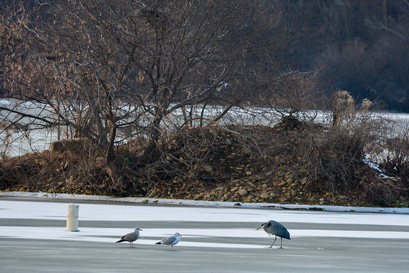
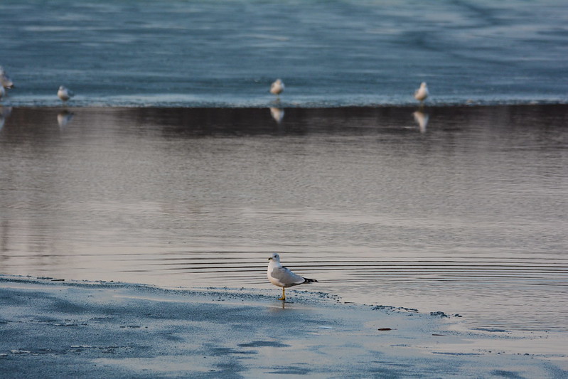
Alas, except for a possible eagle flying in the distance that J missed, we saw only the usual suspects, which are worth the visit — Canada geese, several species of ducks, gulls, and great blue herons that in this cold snap may be regretting their decision not to migrate. Plus tundra geese! I’ve always wanted to see tundra geese. I didn’t realize what they were until I looked at the photos.
I managed to navigate the slick black ice on the path without falling. Accomplishments.
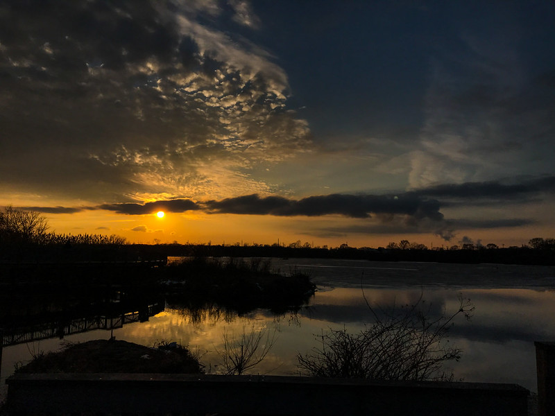
If the birds weren’t enough there were the views of the setting sun and rising moon to end the foray into the great outdoors. Plus a towboat pushing cargo down the Des Plaines River. I wonder if it made it to Starved Rock Lock and Dam, even if I can’t?






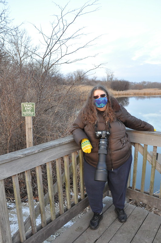
Every now and then I get an email updating me on my Google Maps photo statistics. As of today, these photos have 10,000+ views. The surprises? The chicken and the nondescript view of Lincoln Park Zoo’s south lagoon. That so many people are looking at Beaubien Woods. And that the photo of the Rainbow Bridge at Niagara Falls didn’t make the cut as of today. Not looking like it will for a long time.
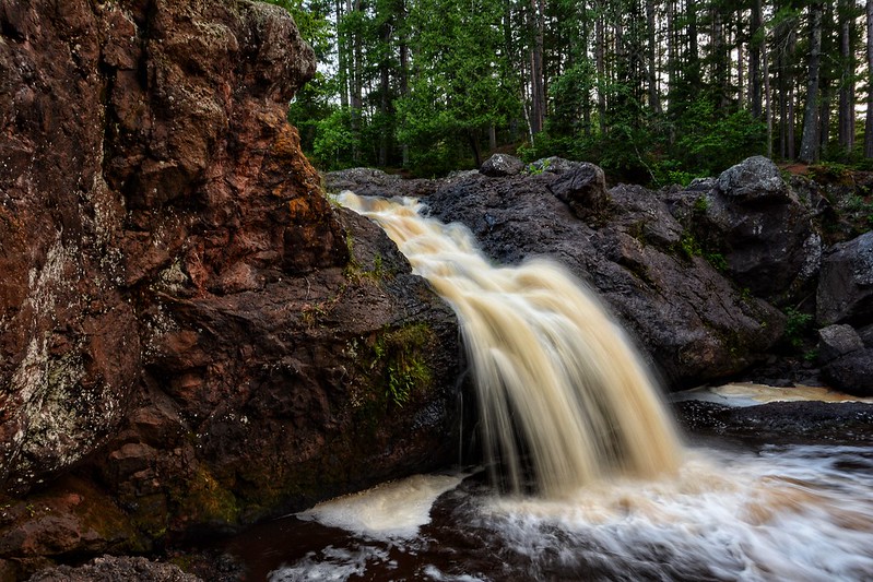
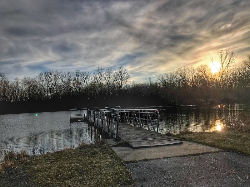
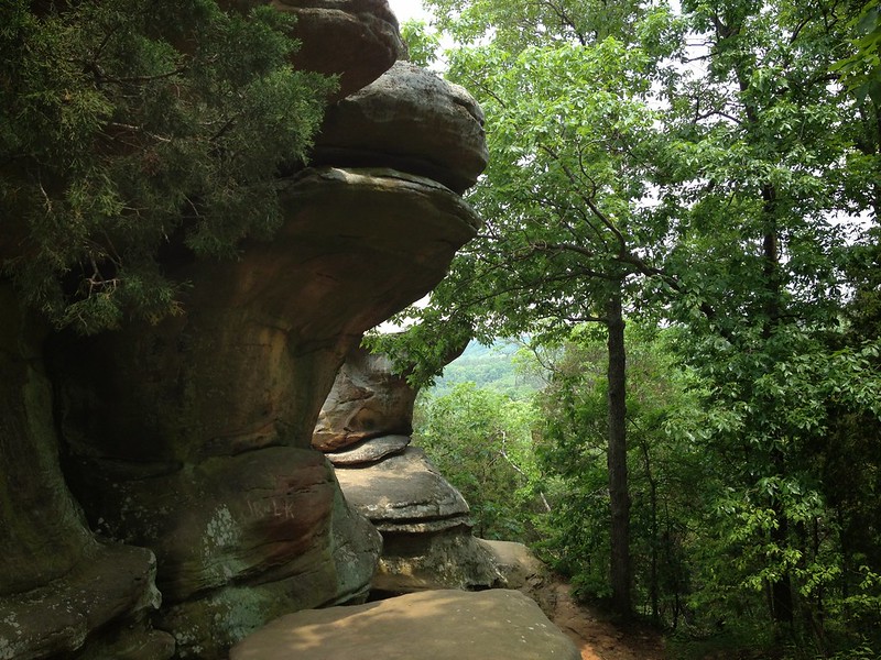


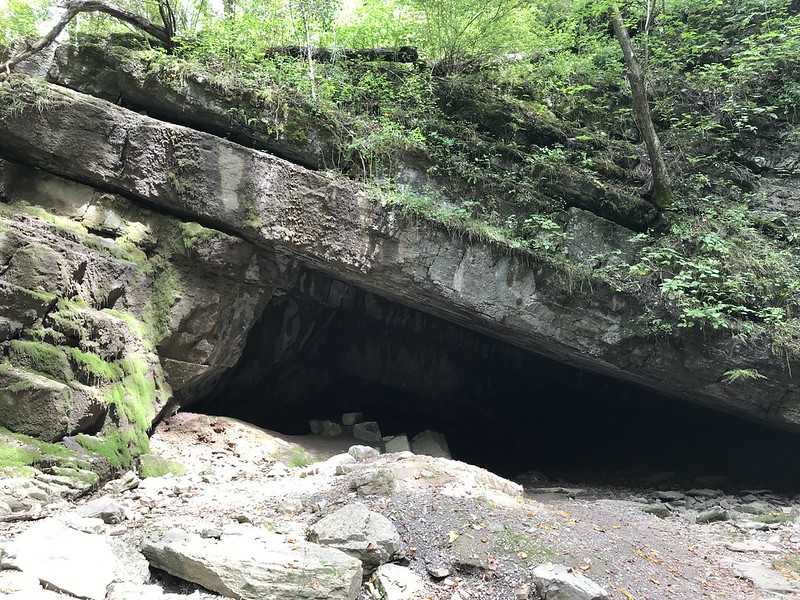

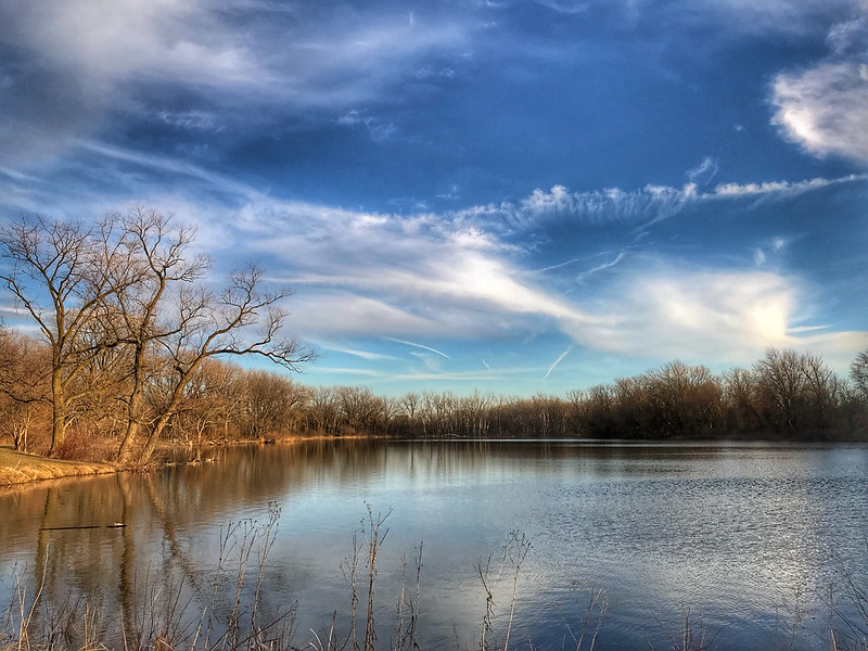

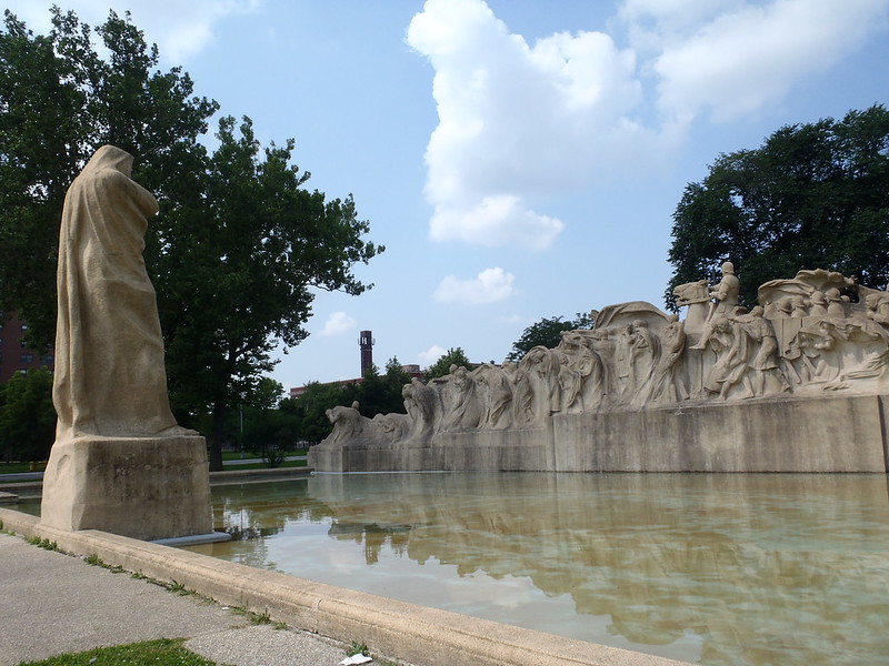
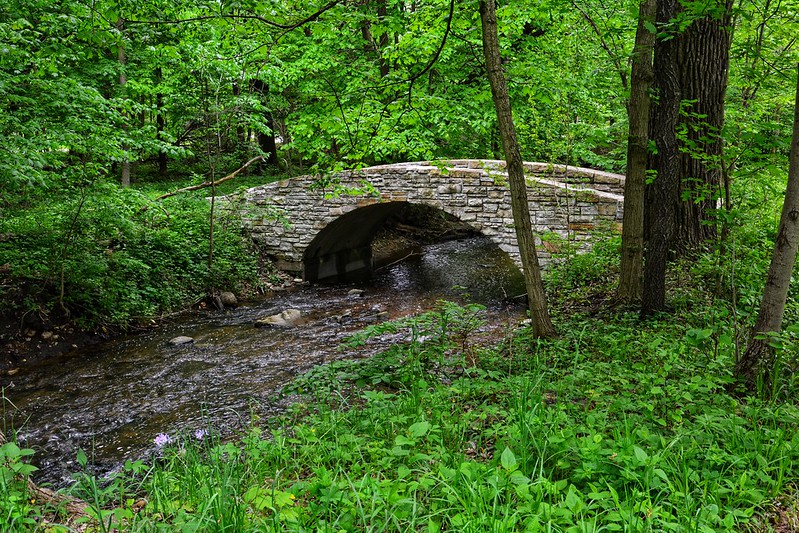

Finally, at six figures:

Whenever I think I’m going to run out of forest preserves to explore, there always seem to be more. Sunday I spotted Whistler Woods on the Little Calumet River, but then my eye was drawn northward to Dan Ryan Woods and a single word on the map: Aqueduct. That sounded promising. I was torn, but Dan Ryan Woods is slightly closer, and who wouldn’t want to check out an aqueduct?
At 257 acres, Dan Ryan Woods is big and is one of the few forest preserves within Chicago. We stopped at the first entrance we came to on 87th, where I used the necessary and J. took videos of noisy remote-controlled racing cars.
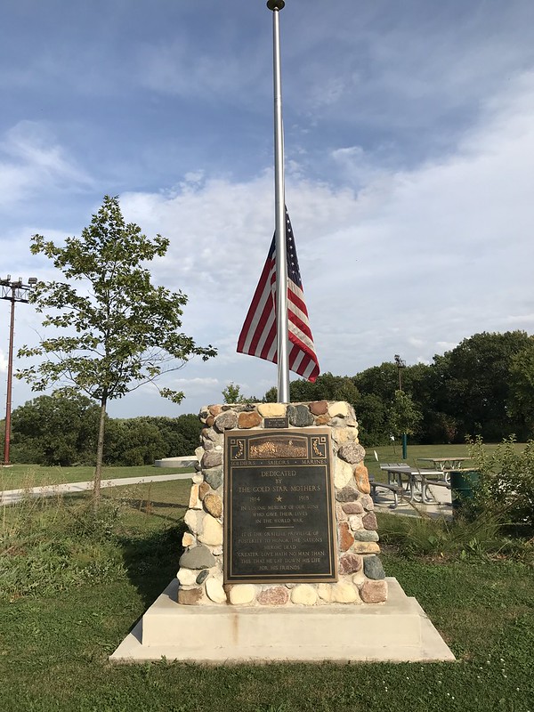
At the next entrance, we found a visitor center (closed), a sledding hill, fitness steps based on the same principle as those at Swallow Cliff Woods, a fancy playground (relatively new, I found out later), and a monument “dedicated by Gold Star mothers in loving memory of our sons who gave their lives in the world war (1914–1918),” which had been been relocated to Dan Ryan Woods.

Dan Ryan Woods is also known for its view overlooking downtown Chicago. According to graphics by the visitor center, Dan Ryan Woods is the tip of an island once in ancient Lake Chicago, 14,000 years ago. This area is one part of Chicago that isn’t relatively flat.
We took the pedestrian underpass beneath 87th Street, where a sidewalk leads to a trail into the woods and to the limestone aqueducts that wind through them. According to the Forest Preserves of Cook County:
The limestone aqueducts at Dan Ryan Woods were constructed by the CCC to prevent water from washing away soil on the steep ridges. . . The CCC built limestone stairways in the 1930s for visitors to more easily access the ridges surrounding the aqueducts — and to admire the land below.
Time, and substantial restoration work, have turned a trip up these stairs into an awe inspiring climb through a mature woodland. Oak and hickory trees arch high overhead, while redbud and ironwood trees stand tall under the canopy. Native grasses and wildflowers carpet the woodland floor.
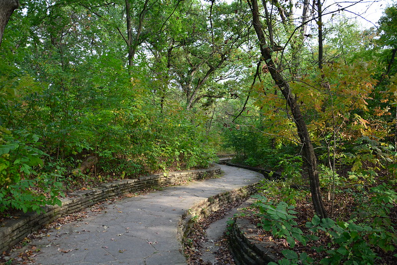
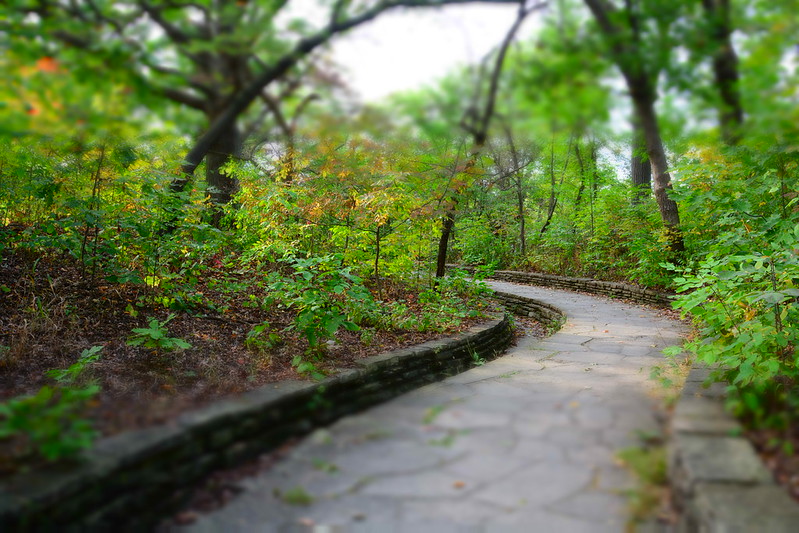
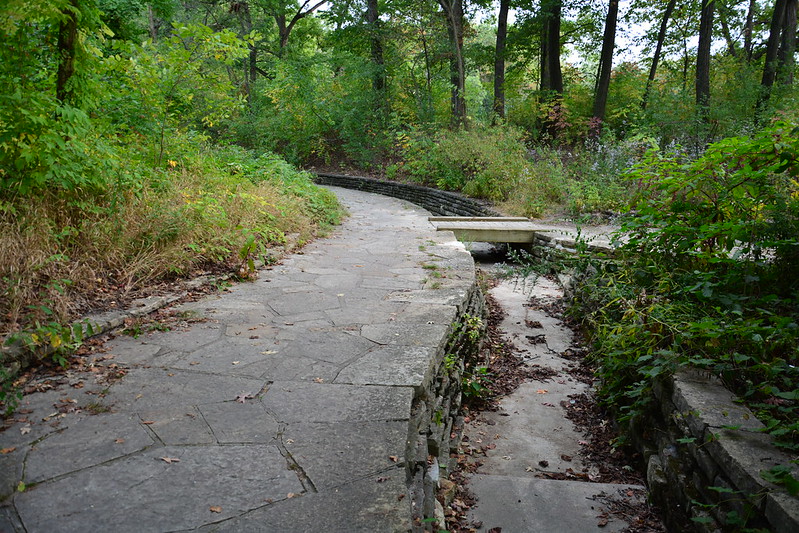
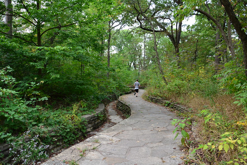
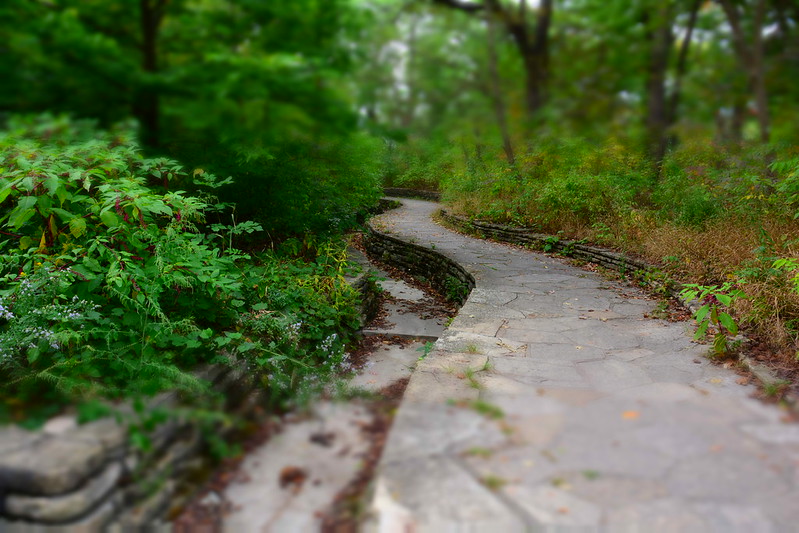
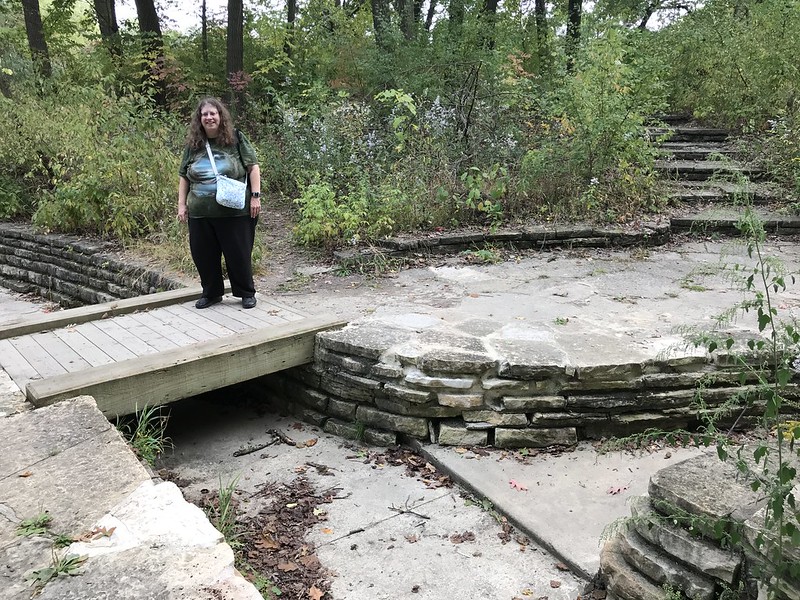
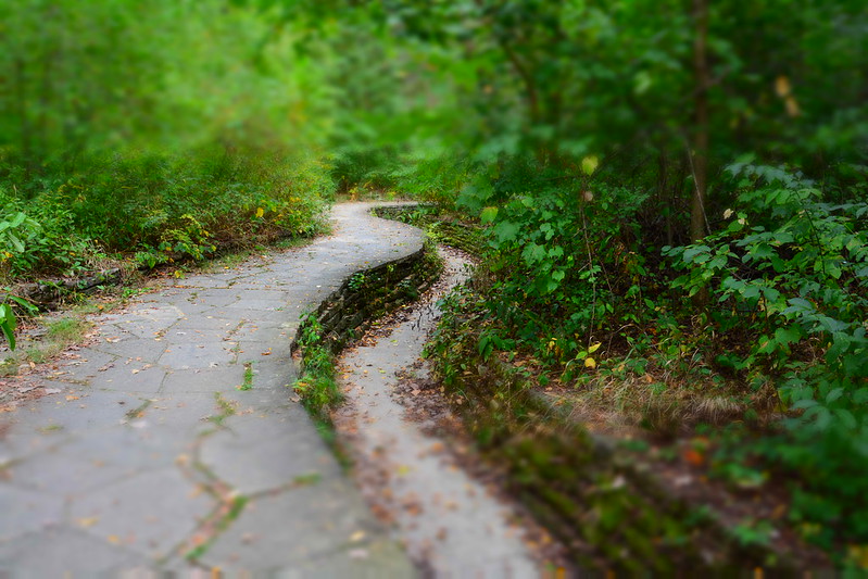
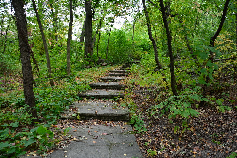


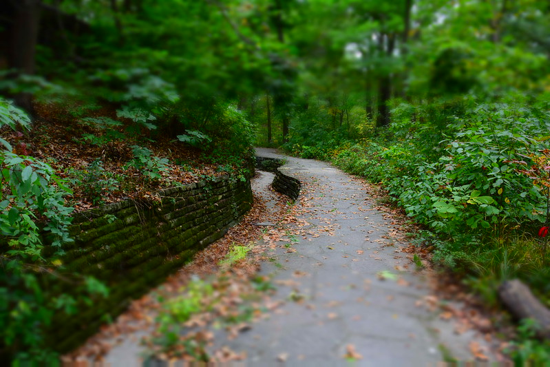
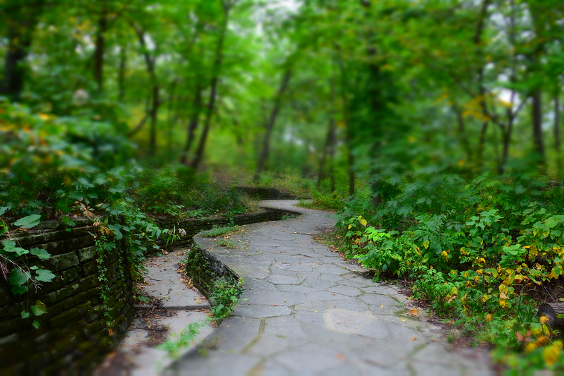
It’s an amazing walk, even in September, and I recommend climbing the stairs and looking down. The aqueducts were bone dry, and a few joggers ran in them. I was content to walk along them and enjoy the feeling of being deep in the woods, lost in time and space — and Chicago.
More here about Dan Ryan Woods.
1 Later I found a 1991 article that said Whistler Woods had become a dumping ground for bodies. I hope that’s well in the past.
A few years ago I met local writer Pat Camalliere at Sand Ridge Nature Center’s Settlers Day. I bought her first two books and this year read The Mystery at Sag Bridge. This passage caught my eye:
In the center of the clearing was a large stone slab, a cube of about four feet. Like 2001: A Space Odyssey, in miniature. The rock appeared to be a monument, and the clearing man-made. Fascinated, she approached the granite monolith and read the words carved on it: CAUTION—DO NOT DIG. BURIED IN THIS AREA IS RADIOACTIVE MATERIAL FROM NUCLEAR RESEARCH CONDUCTED HERE IN 1943–1949.
A memory of something she read, somewhere, sometime: Cora put it together. The old road led to Argonne Laboratory, a large national research facility that was hidden in the woods in these Forest Preserves during the Manhattan Project. It was an ideal location, for then, as now, one could walk for miles in these woods and remain unseen. She pictured Enrico Fermi and Albert Einstein walking this very ground, although she was only guessing.
This, then, was the secret hidden behind the trees that Cora had come looking for. She had no idea anything was left of the Manhattan Project and was surprised the waste was buried near the old site, as the present location of Argonne was across the valley two miles away—in fact, she would have been able to see it, were it not for the trees. She felt the same sense of history and being in another time and place as she had when she visited Saint James, just a short distance from here.
The Mystery at Sag Bridge by Pat Camalliere
Because other places Camalliere uses are real, for example, St. James at Sag Bridge Catholic Church, I assumed there may be a marker over buried radioactive waste in the forest preserves. On Sunday, J. and I went to Sagawau Canyon to watch the birds. Afterward, we had a little time, so I did some quick research and found what’s known as “Site A/Plot M” located at Red Gate Woods, just a few minutes away.
When we arrived at Red Gate Woods, I knew we were headed in the right direction when I saw this sign by a rough trailhead.
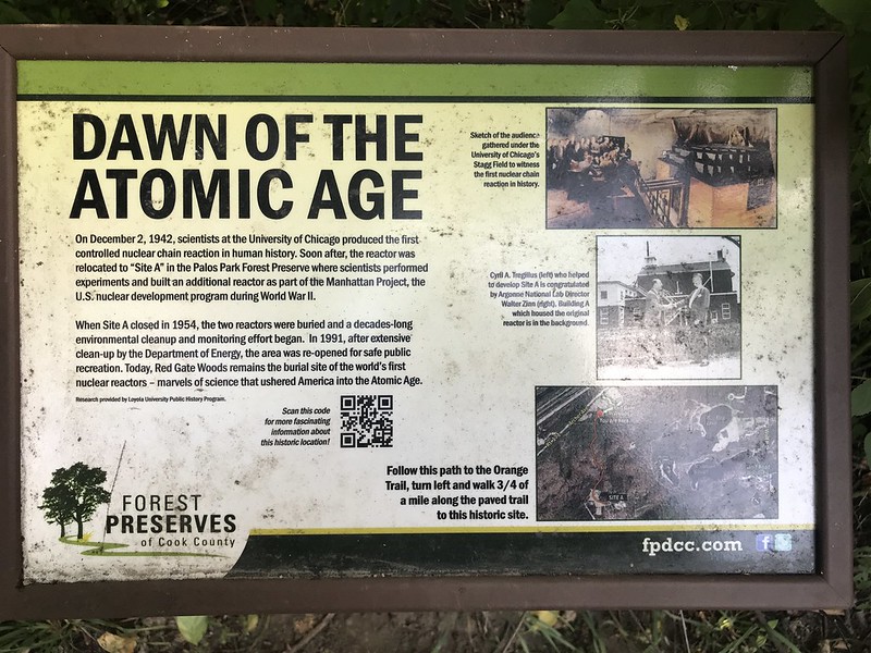
DAWN OF THE ATOMIC AGE
On December 2, 1942, scientists at the University of Chicago produced the first. controlled nuclear chain reaction in human history. Soon after, the reactor was relocated to “Site A” in the Palos Park Forest Preserve where scientists performed experiments and built an additional reactor as part of the Manhattan Project, the U.S. nuclear development program during World War II.
When Site A closed in 1954, the two reactors were buried and a decades-long environmental cleanup and monitoring effort began. In 1991, after extensive clean-up by the Department of Energy, the area was re-opened for safe public recreation. Today, Red Gate Woods remains the burial site of the world’s first nuclear reactors – marvels of science that ushered America into the Atomic Age.
The point where we started is densely wooded, with an eroded trail marked by bike tire tracks and horseshoe prints. Soon it opened up onto what may have been a paved road at one time. I had to follow my location on Google Maps because there were several branch trails and a few splits in the paved road.
it was quiet along the way, with little traffic noise except for the occasional motorcycle or truck engine being revved.
Google Maps says this trail is “mostly flat”; my eyeballs and legs say it’s mostly uphill. We saw some bikers in the woods and on the paved road, along with a few people walking.
After another sign . . .

YOU ARE NOW ENTERING SITE A
Looking for a remote location to conduct top secret nuclear experiments, the U.S. Army Corps of Engineers built the “Site A” research facility on land leased from the Cook County Forest Preserve in Red Gate Woods.
In addition to research labs and reactor control rooms, the complex included a guard house, dog shelter, library, cafeteria, dormitory, and recreational spaces. The scientists who lived and worked there throughout World War Il maintained a strict code of silence, as their discoveries were critical for the success of the U.S. military’s atomic program. After extensive clean-up, the site is safe for public recreation.
. . . and a few bends in the road we came to the Site A marker. The text wasn’t what Camalliere quoted in her book. Later I found out she quoted the Plot M marker, where nuclear waste is buried (“DO NOT DIG”). Site A is where the two nuclear piles (reactors), part of the Manhattan Project, are buried (I wouldn’t dig there, either). According to the Forest Preserves of Cook County website, “The area surrounding Site A and Plot M continue [sic] to undergo annual monitoring and remain [sic] safe by all measurements.”
For now.

THE CHICAGO PILES
Built at the University of Chicago and called Chicago Pile-1 (CP-1), the world’s first nuclear reactor was moved to Site A in the Red Gate Woods in 1943 and renamed CP-2. The pile boasted 10 tons of uranium metal, 42 tons of uranium oxide, and 472 tons of graphite. Shielding the reactor core were six inches of lead and four feet of wood.
Under the leadership of physicist Walter Zinn, scientists at Site A performed experiments in the small laboratory atop CP-2 in addition to constructing CP-3, the first water-cooled nuclear reactor. When the Atomic Energy Commission closed Site A in 1954, the two reactors were dismantled and buried in a forty foot deep trench on the site. Beginning in the 1980s, the Commission and the Department of Energy responded to public concern by monitoring the area and working to neutralize toxic radioactive materials. This site is now safe for public recreation.

THE WORLD’S FIRST NUCLEAR REACTOR WAS REBUILT AT THIS SITE IN 1943 AFTER INITIAL OPERATION AT THE UNIVERSITY OF CHICAGO. THIS REACTOR (CP-2) AND THE FIRST HEAVY WATER MODERATED REACTOR (CP-3) WERE MAJOR FACILITIES AROUND WHICH DEVELOPED THE ARGONNE NATIONAL LABORATORY. THIS SITE WAS RELEASED BY THE LABORATORY IN 1956 AND THE U.S. ATOMIC ENERGY COMMISSION THEN BURIED THE REACTORS HERE.
Here’s I hoping I can make it someday to Plot M. Assuming I can find it.
Time for another look at Doctor Atomic.
Added June 5, 2022: PDF from the Department of Energy about Plot A/Site M.

A property owner in Tennessee found what he thought was a litter of stray puppies in a drainpipe and raised them, then took them to a shelter. Later, a veterinarian said, “Hmmm. These are coyotes.” Apparently coyote pups look like dog pups.
This one ended up at River Trail Nature Center, part of the Cook County Forest Preserves. He’s too imprinted and tame to survive on his own. Our guide reminded us that typical coyotes avoid humans. The incidents of aggressive coyotes usually can be traced to injury or to the coyote being fed and losing its natural fear of people. Don’t feed the wildlife (except birds, of course).
Our guide also told us Cook County’s many coyotes are the most studied in the country. Many sport radio collars. When the collar stops moving, the researchers look for what they assume is a dead coyote. Often they find a chewed-up radio collar. Even with their long snouts, they can’t reach the collar, so they buddy up and chew each other’s collars off.
Wily indeed.