Sea smoke on Lake Michigan at -21ºF
It got colder this morning before it got warmer. The sea smoke was curling and eddying in interesting ways.

It got colder this morning before it got warmer. The sea smoke was curling and eddying in interesting ways.
On my last full day in Pennsylvania, the 28th, we went to the Flight 93 National Memorial despite the government shutdown. Our route took us down Lincoln Highway, which crosses the United States. It passes through Illinois in the far south suburbs of Chicago. Lincoln Highway reminds me that all of us are connected in some way.
We arrived first at the Tower of Voices, which with the surrounding landscaping are a work in progress. When completed, there will be a chime for each crew member and passenger on Flight 93 — 40 in all. At this time, there were eight if I recall correctly.
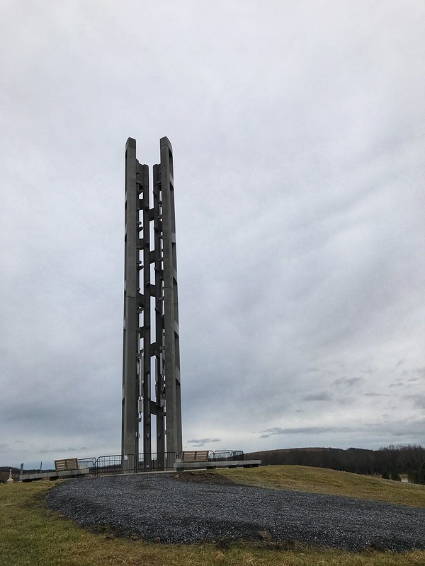
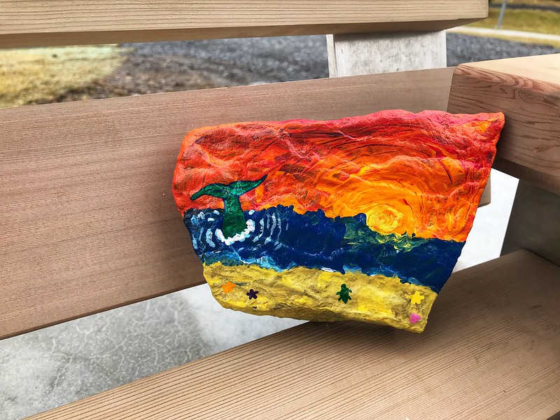
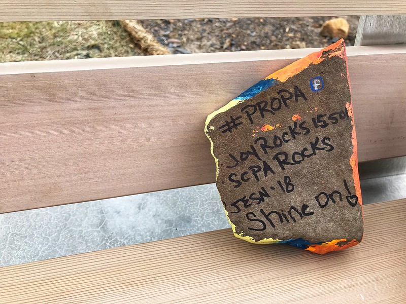
On a bench near the Tower of Voices, we found a “Painted Rock of Pennsylvania.” This is a thing I must look into. I loved this one.
The memorial site is a few miles off, with some farm buildings and wind turbines the main signs of habitation. Before 9/11, the residents of Shanksville and environs could not have imagined visitors from around the world making pilgrimage to their community a half hour south of Johnstown.
The site, which is large, was once a surface mine, stripped of most trees and since replanted. Due to the shutdown, the date, and possibly the gloomy but unseasonably warm weather, there were some but not many people about. We took our time walking to the wall where the names are inscribed, passing the large sandstone boulder that marks the area where the plane came to rest — violently. Someone had left flowers by a few of the names in the wall.
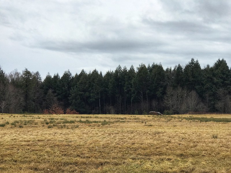
We found another Painted Rock of Pennsylvania on a bench along the way.
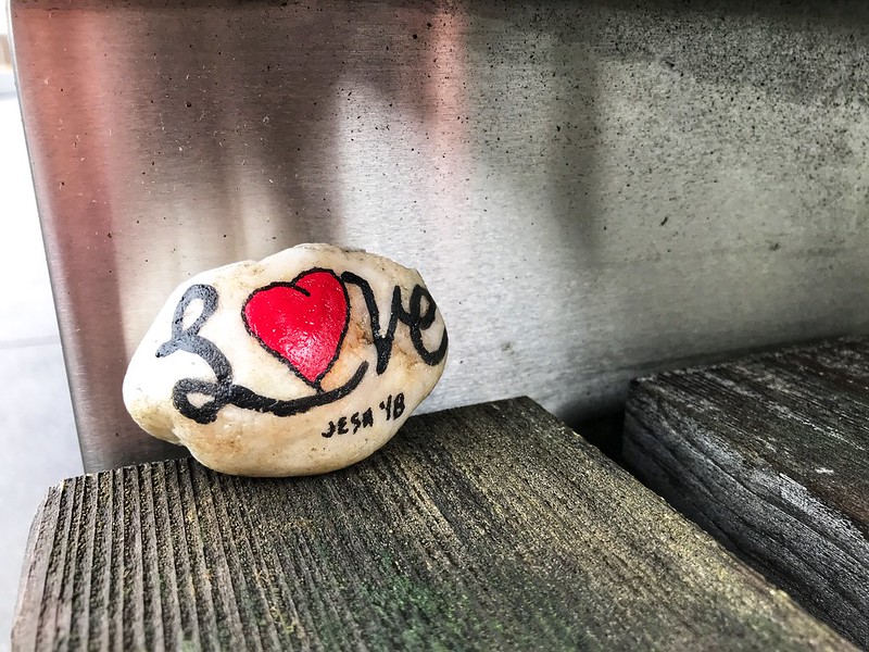
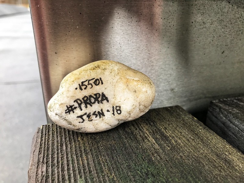
I found out via the Facebook hashtag #PROPA that the artist hadn’t expected them to be found until spring. I left both for others to find.
On the way back to the parking lot, we looked at some graphics, then drove to the visitor center. The high walls, marked with the hemlock lines that are the prevailing theme even in the sidewalks, show the path the plane took. In this case, the design’s simplicity adds to the solemnity of the place and inspires the imagination, especially when you remember this horrific event took place on a perfect sunny day in the waning summertime.
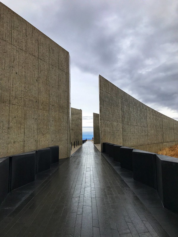
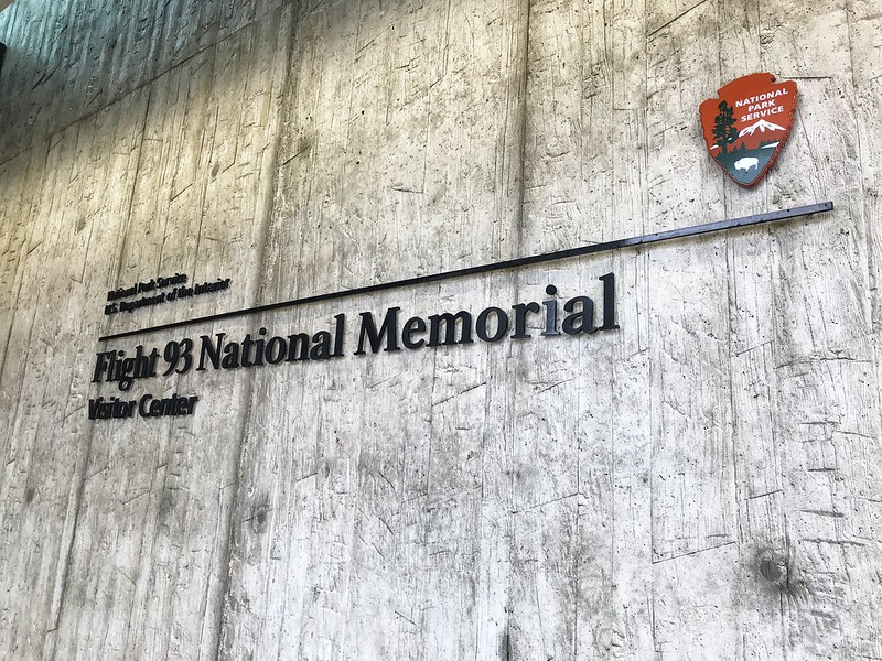
The visitor center was closed, of course, but we could see quite a bit through the glass. I wouldn’t have wanted to eavesdrop on those final conversations even if I could have.
On Lincoln Highway, I’d noticed signs for two covered bridges that didn’t seem to be far off — two or three miles, more or less. The first, Glessner Covered Bridge, was down a well-maintained dirt road — not too rutted. The covered bridge is lovely, with a barn on one side and railroad tracks that parallel the stream on the other. The stream is known as either Stony Creek or Stonycreek River. The latter seems redundant. It’s either a river or a creek, but neither is a clearly defined term.
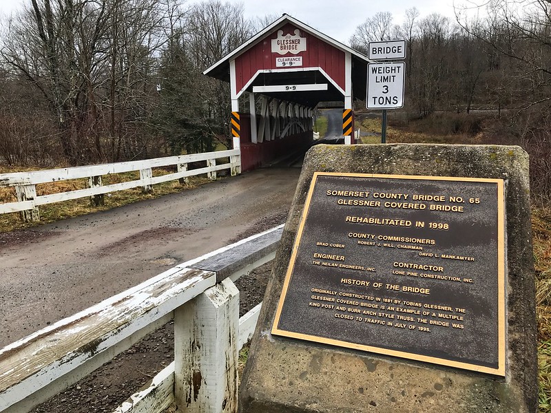
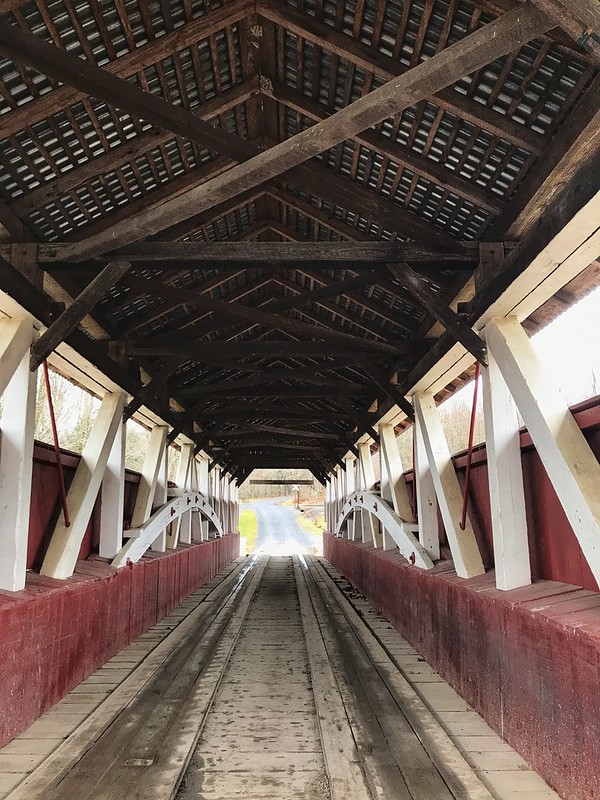
The generous landowner at Glessner covered bridge has posted signs — not the usual “Private,” “Posted,” “Keep Off,” etc,., but signs inviting you to enjoy a little fishing if you’re so minded. I call that right neighborly. It would be a lovely spot to fish in the warmer months.
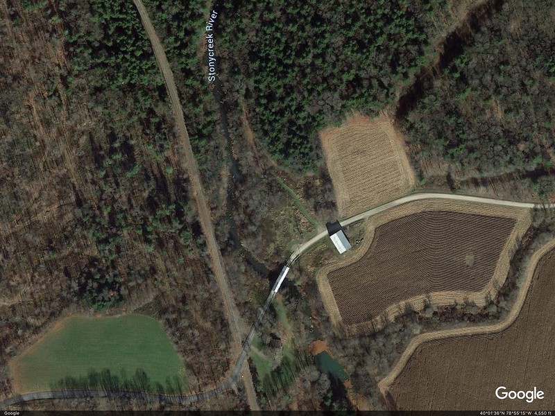
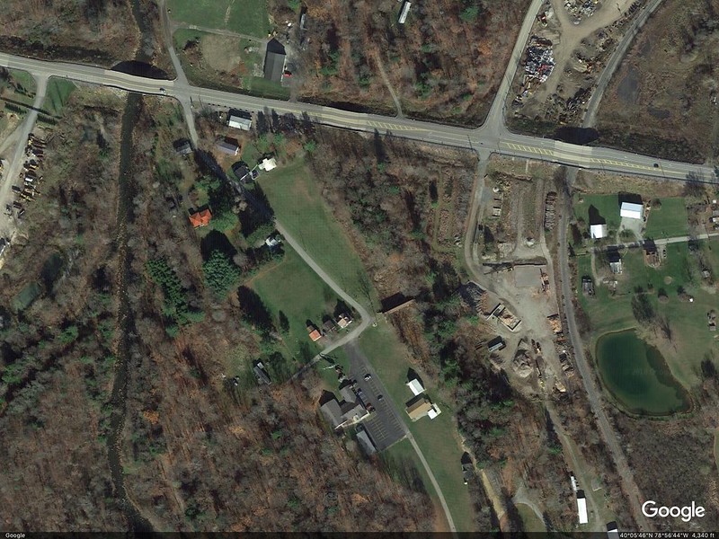
To get to Trostletown Covered Bridge, we passed Stoystown Auto Wreckers, quite possibly the largest junkyard I’ve ever seen — acres and more acres of junk cars at the bottom of rolling hills. As I recall, the Google Maps capture shows only a portion of the junkyard. Today — unsightly metal carcasses. Yesterday — bucolic covered bridges.
Google Earth image shows the size better.

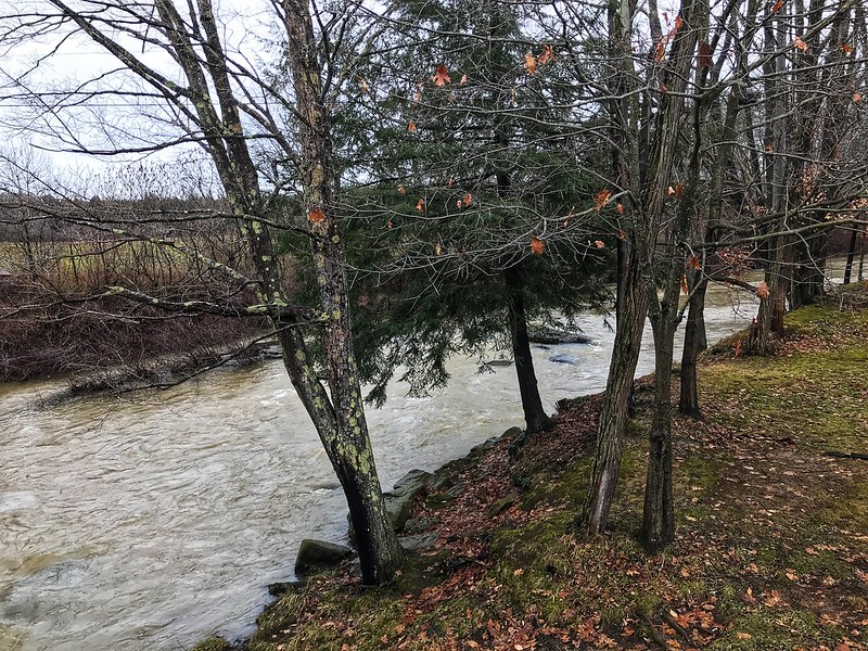
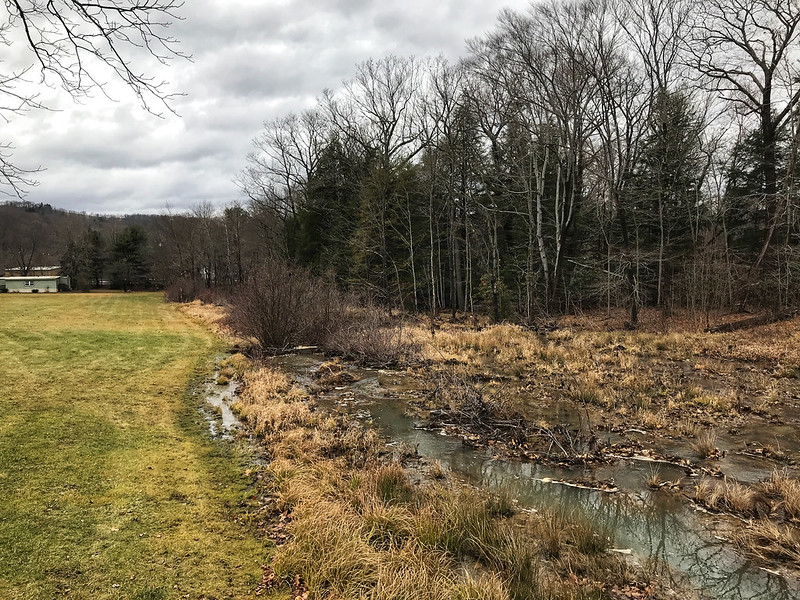
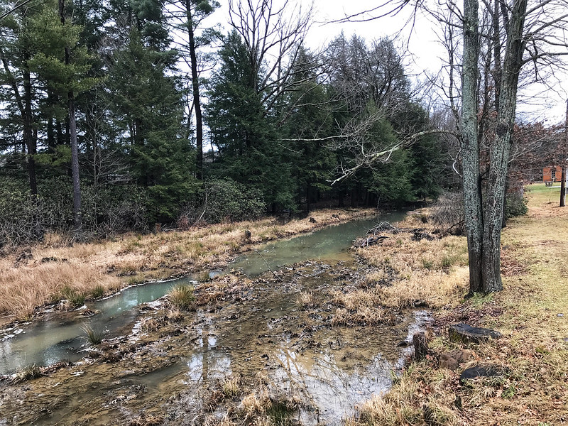
I’ve read in several places that Trostletown Covered Bridge passes over Stonycreek, or Stony Creek River(?). I use a question mark because Google Maps shows Stony Creek River west of the bridge. I wonder if what we saw is a little offshoot — it doesn’t even appear on Google Maps in blue.
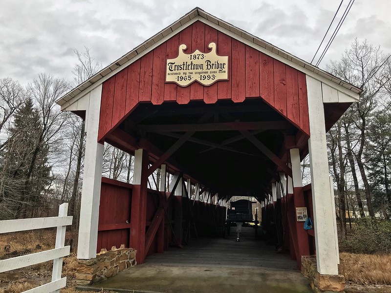
The water, wherever it comes from, doesn’t quite flow freely under Trostletown. It was low and in many places choked with plants and earth. Unlike Glessner Covered Bridge, which is open to cars, Trostletown doesn’t seem to lead anywhere, but ends in a seedy and weedy area. I’d want to plant a butterfly garden with benches there.
I teased my cousin’s wife about driving across the Trostletown Covered Bridge, but she’d already noted it goes nowhere. I drew their attention to another deterrent — a Conestoga wagon blocking the way.
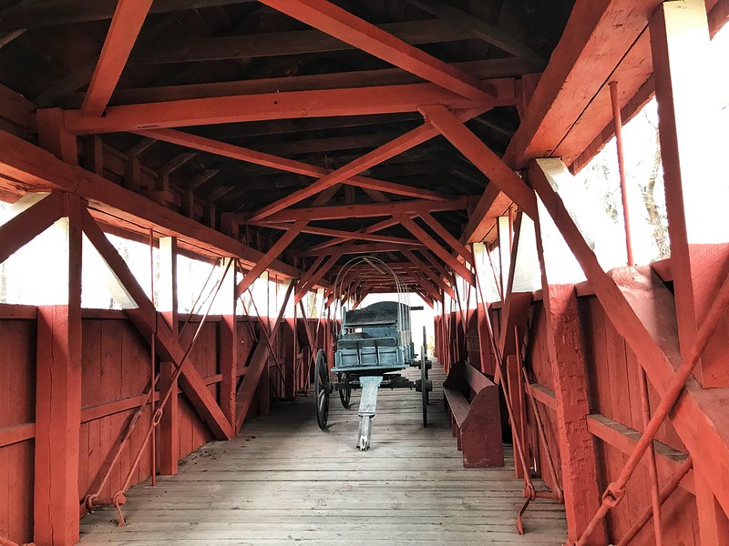
Google Earth shows Trostletown Covered Bridge to your right from the bend in the road.
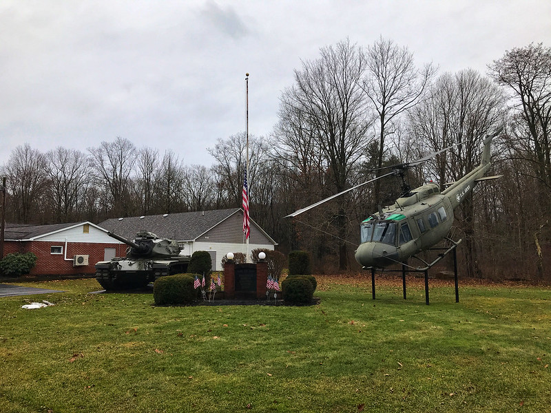
Trostletown Covered Bridge and the Conestoga wagon are not the only remnants of history here. Kitty corner from the covered bridge the Stoystown American Legion post features a tank and a helicopter positioned to nosedive into the ground. I read elsewhere it’s a Vietnam-era Huey.
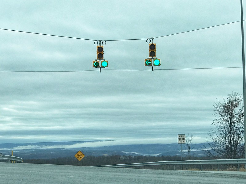
On the way to and back, mist smothered and covered what lay in the hollows, often following the meanderings, we thought, of streams and rivers. You can’t quite capture it from a moving vehicle.
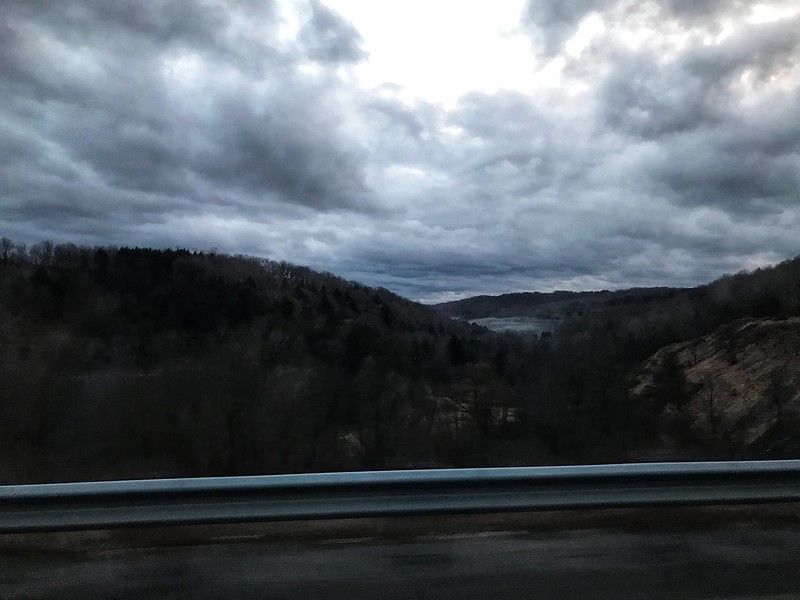
Although the day had been gloomy, there was one brief hint of life and color as the sun appeared while making its daily disappearance.
Days like this make leaving harder than it already is.
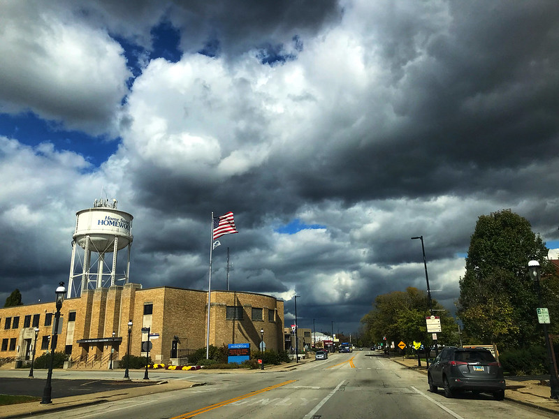
I was reading an episode in Anne of Avonlea in which a terrifying black cloud emerges on a sunny May day, bringing wind and dropping hail, leaving devastation behind, when I left to meet J in Homewood. It was windy enough that my Fitbit Blaze was fooled into recording that I had climbed 12 floors (in reality, a few steps).
After lunch at Redbird Cafe, I noticed the buildup of impressive clouds. The day I thought would be sunny and comfortable was turning into crazy weather day, with “snow” making a brief appearance in the AccuWeather Minute by MinuteTM forecast before changing to “rain.”
While at the Three Rivers rest stop on I80, I saw I’d gotten a call from the I&M Canal Boat folks—the mule-pulled canal boat ride I’d booked had been canceled due to wind. We decided to head to the Starved Rock area anyway, possibly to go on one of the next day’s rides if the weather were better.
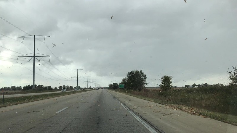
While it’d been windy at the rest stop, it hadn’t seemed extraordinary. Now, however, we noticed dried corn husk debris from the fields whipping around us, and leafy twigs were starting to litter the interstate. J. even ran into a small fallen branch—no time to stop or swerve. I half expected to see a skinny-legged witch fall out of the sky or Conrad Veidt to appear, saying, “Wind! Wind! Wind! WIND!”
After a stop at Jeremiah Joe, we checked out the river, which had been calm as a mirror at the end of July. The wind, about 25 mph with 50 mph gusts, was rippling the water toward the southern shore. I thought about the mules and wondered if they could get blown off the towpath. On E. 875th Rd., a government truck blocked our lane because a tree had fallen down the hillside—presumably torn up by the wind.
Given the wind and the corresponding chill, hiking didn’t appeal to me, so we went to Starved Rock Lodge for dinner. By the time we left the lodge around 6 p.m., the wind had died down, leaving behind torn branches and twigs and a strangely calm evening.
Overnight, I saw the temperature dip to 23ºF. Brrr. And it was 90ºF only a couple of weeks ago.
Sunday dawned sunny and brisk, so there was an excuse to go to Jeremiah Joe after breakfast and a soak in the spa.
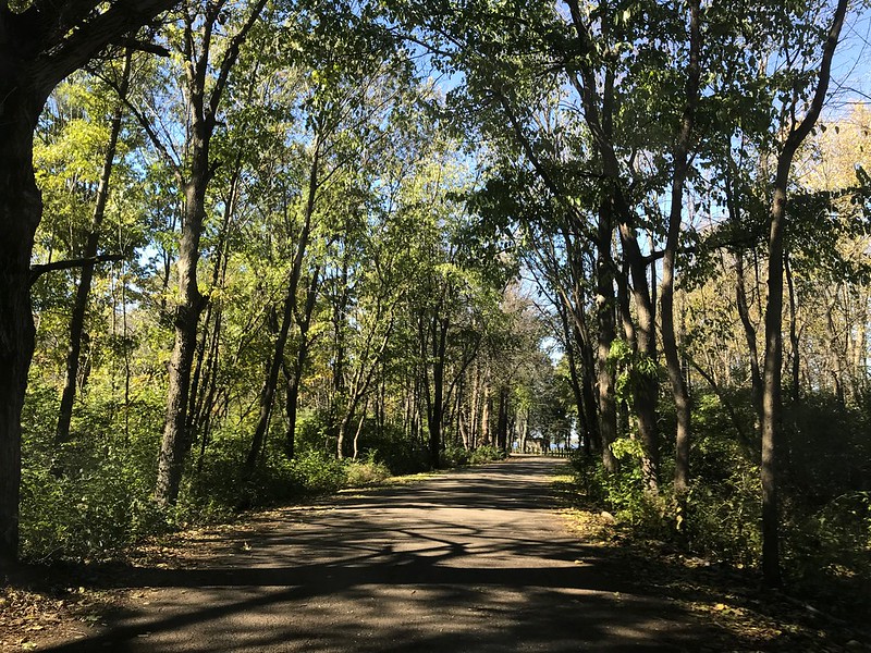
The next detour was Lone Point Shelter at the eastern end of Starved Rock State Park. I walked out on the floating dock, where two pre-teen boys, one with a little white dog, did their best to make me seasick. One boy said something about falling in, so I told them the carp would eat them. One of them looked skeptical. “Carp don’t have teeth,” he said without confidence. I resisted pointing out they wouldn’t need teeth at a certain point of decay. Meanwhile, a big boat chugged between the opposite shore and an island. The size surprised me until I realized the river accommodates massive barges, of course.
We stopped at Nonie’s Bakery and Cafe in Utica to pick up sandwiches to go for dinner on the road since we were going to get a late start back. Nonie’s is a quaint place in a house that looks like a house, inside and out.
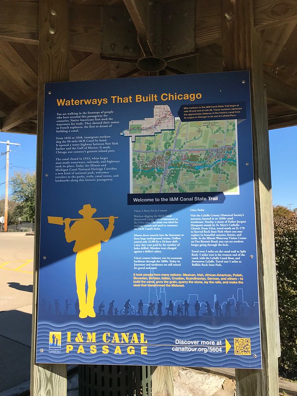
After Nonie’s we stopped at a different pedestrian bridge over the Illinois and Michigan Canal in Utica. I wonder what will happen to bridge and detailed signs once the canal is filled in, as I read is planned in the not-too-distant future.
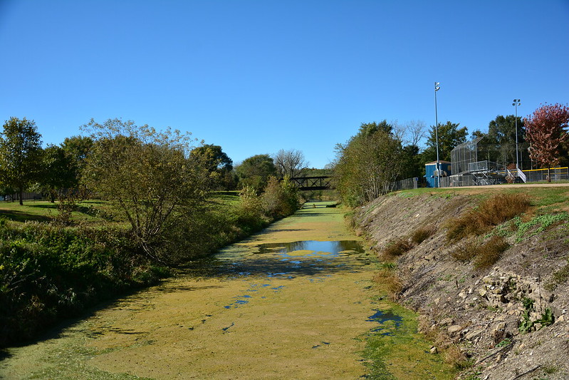
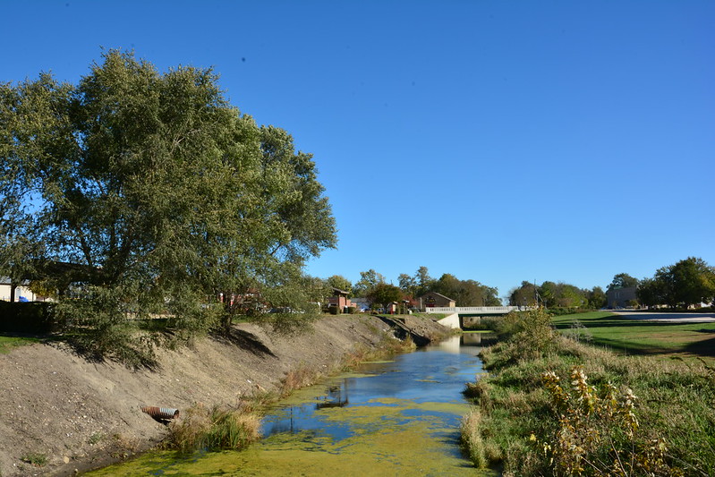
Now we set out for our main objective—Lock 16 Café and Gift Shop in LaSalle. The kitchen closes at 3, but we made it there in plenty of time for a late lunch and to look over the goods. Who can resist a “Moe and Joe” mule t-shirt? Not I.
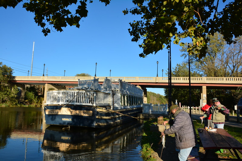
The ride, complete with ghost stories, was to start at 5, so we wandered around the lock (Lock 14, not 16), where a number of men and boys were fishing for trout—one fellow had four on a line in the water. I wondered how far the canal goes.
I didn’t see any sign of mules or tack. I knew Joe had died last summer. After boarding we found out Moe, age 45, had died of Cushing’s disease a couple of weeks earlier. The remaining mule, Larry, had hurt himself where the belly band would go. Smart mule. One passenger said, “What? No Shemp?” Our guide told a credulous boy that the canal ride to Chicago would have taken 24 hours compared to a week for a carriage.
Our host told us amusing tales about the mules competing with each other (pulling the boat out of the canal when in tandem, or completing the hour-long trip in 40 minutes when one was in front of the other). If one pulled, the one left alone would have panic attacks, so a nanny goat was procured to keep him company—until the two teamed up to pick on her. Even gone, Moe and Joe were stars.
Our ghost storyteller was paranormal writer Sylvia Shults, who started off with a tale from Seneca, Illinois, about spontaneous combustion. Reflect on that the next time you want to say, “I’m so mad at her! She burns me up!”
On my previous mule-pulled canal ride, on the Chesapeake and Ohio (C&O) Canal starting in Georgetown in Washington, D.C., the boat had passed through a lock first thing. I remember the boat lowering and seeing the slimy green-covered wall appear (or I think I do—I may be confusing it with a boat ride in Chicago).
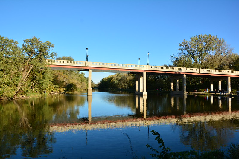
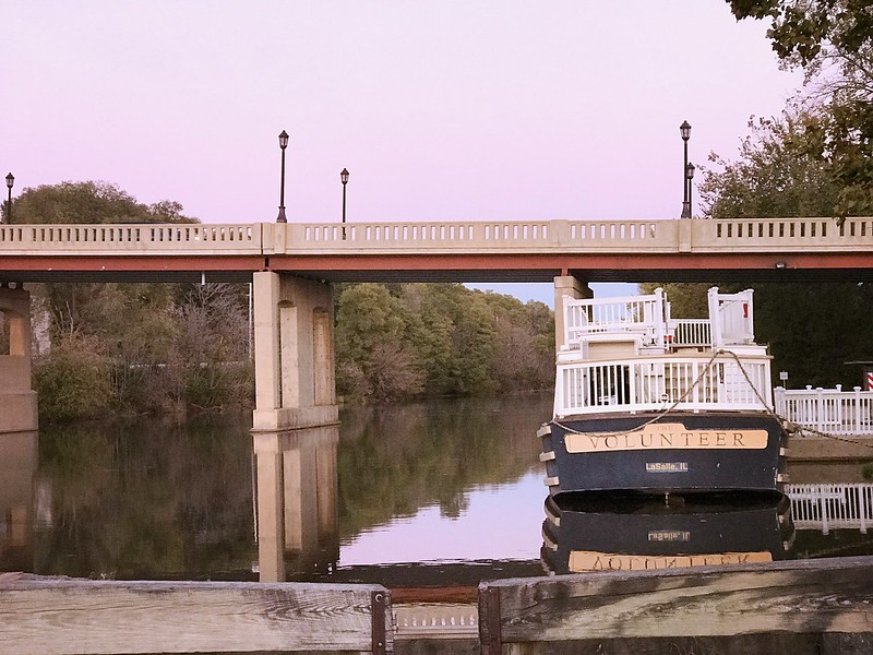
There are no locks on the short I&M ride, and Lock 14 (immediately behind where the boat is docked) looks like it hasn’t been used in years. In this case, the boat, dubbed The Volunteer, passes under a bridge at Joliet Street. As it falls under the jurisdiction of the U.S. Coast Guard, passengers are required to remain seated as there could be a jolt if the boat bumps near the bridge. It did, and there was. If I’d been standing, I’d have keeled over. Wooomff.
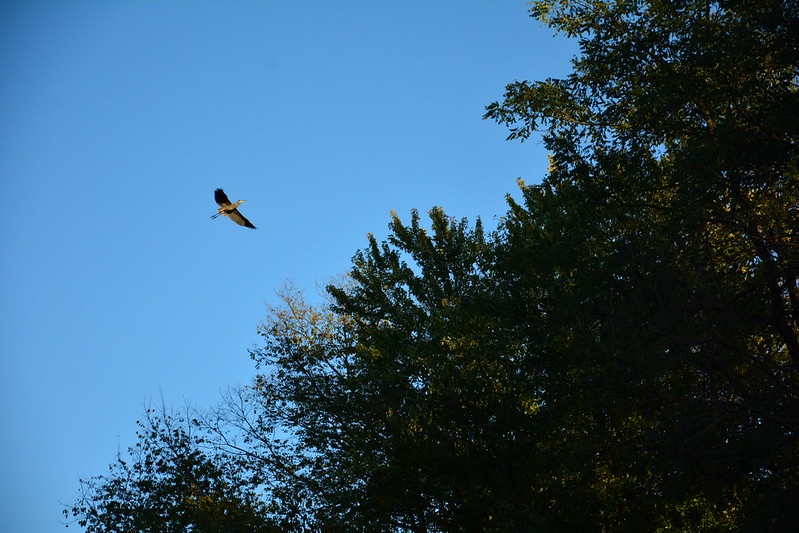
As soon as I could I walked up the steps to the Texas deck, while J. alternated between above and below. Naturally, just after he went below a great blue heron flapped its ponderous way toward us. “What is THAT?” a woman asked me. I was tempted to reply, “A pterodactyl.” It’s a rare moment when I’m the resident bird expert.
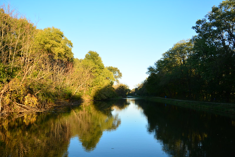
I watched from the bow as The Volunteer approached a trestle, beyond which is the Little Vermilion River Aqueduct. I could see that we would have to start to make our way back—the canal narrows and appears to be shallow. I learned later the canal had been restored in this location specifically for the canal boat ride. Someday we’ll have to see more by walking the I&M Canal trail. On our return trip, a woman on the boat called out to a woman on the trail: “How far does that path go?” They had to yell back and forth several times, but I think the walker said Ottawa. I’ll be lucky if I can make it past the trestle.
In Google Maps’ satellite imagery, the canal is a frightening neon yellow-green, although it looked okay as far as I could tell (and the men and boys fishing clearly the intended to eat their catch!).

This ride was timed just right to head back toward the golden glow of the setting sun, which wasn’t blindingly bright. Despite the distant pounding from Illinois Cement to the east, the trip was calming, and I wished the glow could last a bit longer.
Not surprisingly, Ms. Shults was selling and signing her books so before disembarking I bought a couple after telling her I was interested equally in history and ghosts. She recommended a book on an asylum in Peoria . . .
We had a long trip and a work day ahead, so reluctantly we headed toward the parking lot prepared to leave. It was then I spotted the silhouette of a mule, similar to the metal cutouts of historical figures we’d seen dotting the area. Then I noticed it had a couple of tones, unlike the cutouts. Then it swung its head. It was Larry the mule! We ran over to meet Larry and found him eating apples from Ms. Shults’ hand. After she’d run out of goodies an older man came along this carrots and marshmallows, and a woman pulled a little grass as a treat. It wouldn’t surprise me if Larry returns to his farm in Utica in early November weighing a wee bit more, even after a summer of canal boat pulling.
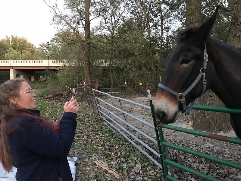
After the visitors bearing gifts left, Larry, who’d walked away from me several times to follow them, suddenly started pushing my left arm around with his head and exploring my sleeve with his big mule tongue. Alas, I had no apples, carrots, or anything else a hungry mule might be interested in. If I ever get a chance to go back to LaSalle for a mule-pulled canal boat ride, I’ll know to bring healthy mule bribes, er, treats.
J. wanted to go to northeastern Wisconsin to see family, so I went along. The trip didn’t begin well, as he was delayed by a protest and closed exits along the Dan Ryan. I should pay more attention to local news.
Traffic wasn’t bad the rest of the way, and the weather was perfect — clear sky, sunny, about 74ºF when we left and at Port Washington. I noted that I prefer a summer sky with interesting clouds, although later the cloudlessness would prove perfect for part of the plan.
We arrived in Port Washington (80ºF) at 3:40. I remember the time precisely because it was 20 minutes to closing at Bernie’s Fine Meats, where I promptly spent a small fortune. (I’m not a big meat eater, but, oh, the garlic summer sausage.)
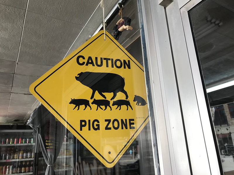
We stopped for a bit at Smith Bros. Coffee for the namesake beverage and a sandwich. It’s one of those places where I could people watch all day.
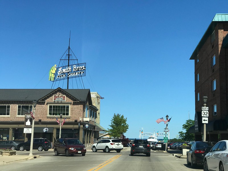
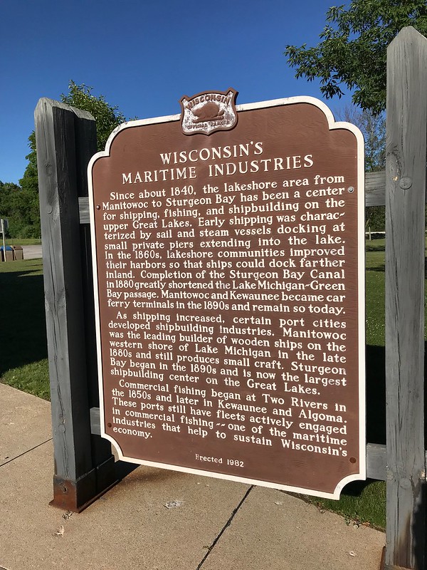
Finally, we hit the road again, passing through Green Bay and continuing north.
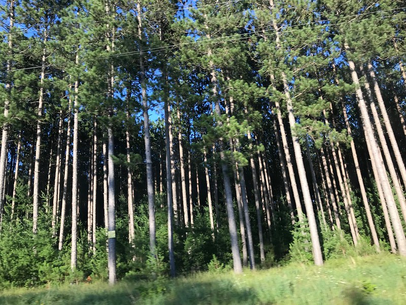
I’m not sure when we arrived in Crivitz, perhaps around 7. We continued northwest toward the family tree farm. Along the way I noticed many stands of conifers planted in regular rows, but what struck me was how dark the interiors of these cultivated “woods” appeared. In places it seemed almost black between trees, across from the sun low in the sky.
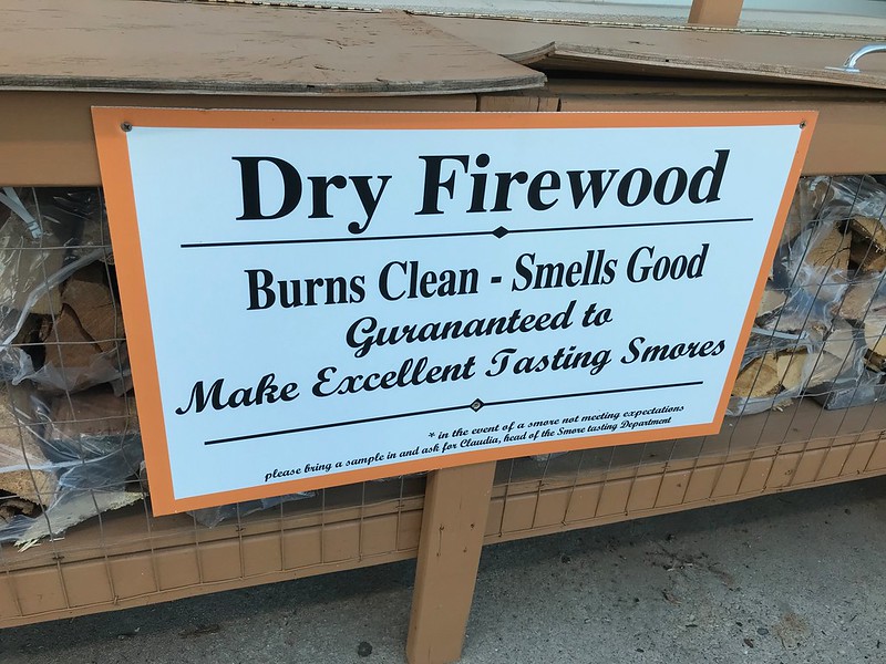
After arriving at the tree farm and looking around, J. saw he’d gotten a message earlier that the family had gone to a fireworks show with “Boat Landing 3” as the destination. After heading out from the farm, we asked a man for directions (no mobile phone coverage in the area) and with his directions found Twin Bridges Park on Boat Landing 3 (a road). Earlier there’d been a waterski show and fireworks were also advertised. Now we just had to find the family. Someone in the huge parking lot pointed us toward a sandy path through the darkening woods to the spot for the main event. We found a crowd in a clearing, along with concessions stands.
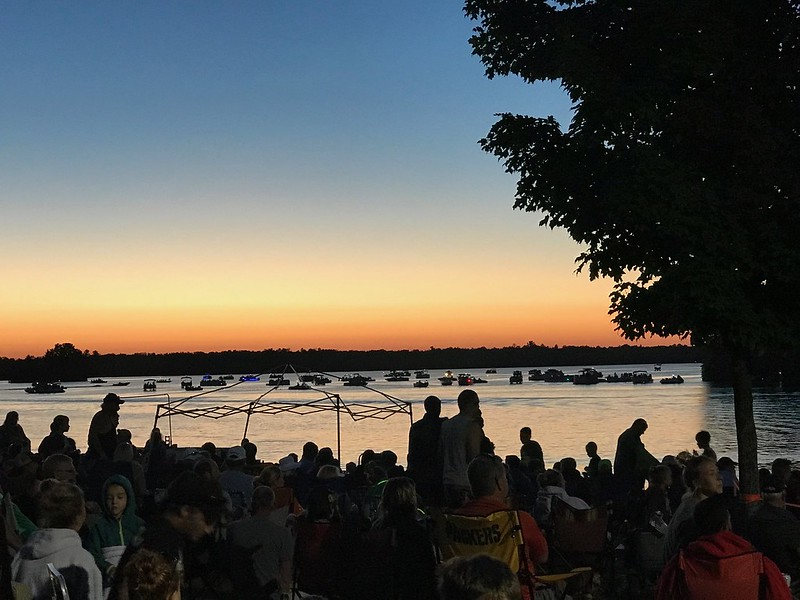
J. sought his family while I waited in the line for the facilities. By then I was tired enough I couldn’t tolerate the crowd (or the smoking). I went back through the woods to the car, where I took several videos of the fireworks through the trees along the Peshtigo River while countless mosquitoes feasted on me.
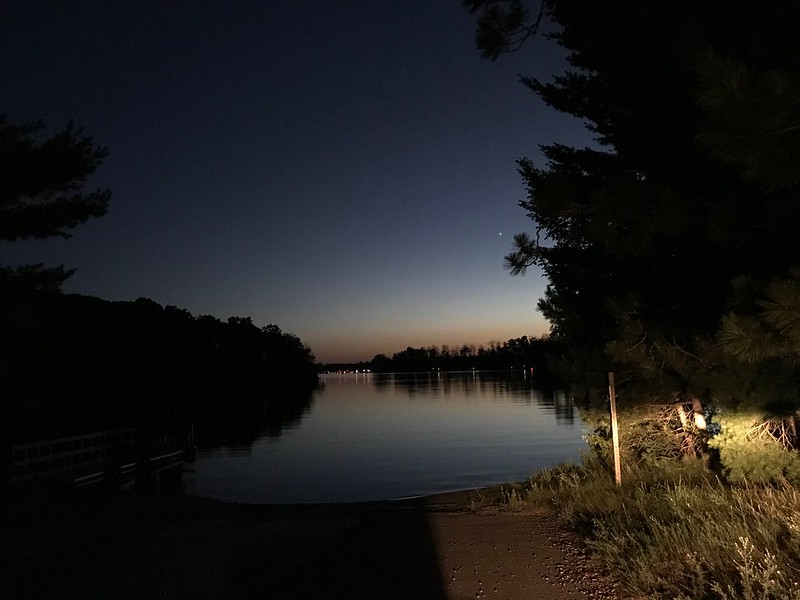
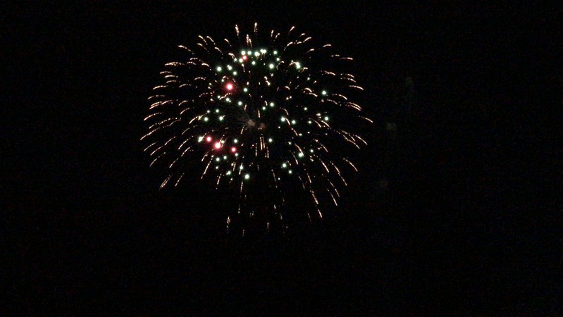
After a surprisingly good display, we headed toward an inn, 20 to 30 minutes away. The front serves as a bar and pool room (with one table) and the back as a restaurant. Everyone there seemed to be part of an extended family, friends, and neighbors group.
Next morning we passed Dirty Joe’s Laundry on the way to Java Lodge Coffee. Is there a Joe? Is he dirty? Does he launder? We may never know.
When we walked outside at midnight, the sky that had been so clear during the day had exploded with stars in a way that urbanites don’t experience without getting out of Dodge. Despite the lights around the building, there wasn’t much surrounding light pollution. We could the outline of part of the Milky Way. I wish I could see that every clear night. When I wasn’t soaking up the firmament (as the mosquitoes drained me), I was watching a few bats flying back and forth overhead (dealing with some of the little blood suckers, I hope). And so back to Crivitz for some rest.
I’d love to show the coffee shop, but the proprietor told us photos aren’t allowed due to the vendor works displayed. It had a north woods vibe, with bear and moose artwork and goods featured. Lovely place. We spent more time there than we could afford.
We returned to the tree farm, where we were given a tour of an addition, in progress, to the house, and I was offered a ride on a four wheeler (passed). My plan had been to head to Veteran’s Memorial Park afterward, but J’s brother talked him into a visit to Dave’s Falls, also a county park.
Nothing but a click happened when J turned his car key, and he realized he’d turned on the lights and left them on — don’t ask why as it was sunny and cloudless again, about 88ºF.
If you’re going to drain your battery, do it in the front yard of a family of mechanics. His brother appeared with a charger and clipped it on, then scraped and rinsed off years’ worth of corrosion. He advised running the engine for at least a half hour to 45 minutes — just about the amount of time it would take to get to Dave’s Falls.
Dave’s Falls, at least from what I could see from where I could get to, reminded me of a more open version of Parfrey’s Glen near Devil’s Lake, Wisconsin, where a small waterfall splashes into water suitable for horsing around. The river seemed to run pretty fast with some foam. I wish I had felt steady enough on my feet to get closer to the falls, but the ground was rougher and more angled than I could handle at that moment.
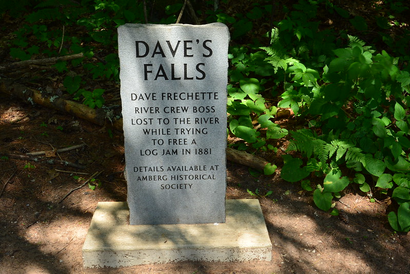
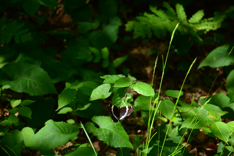
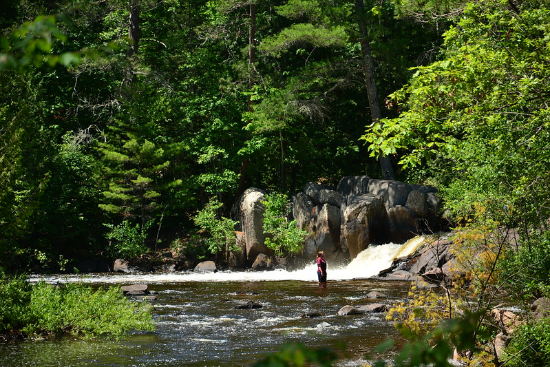
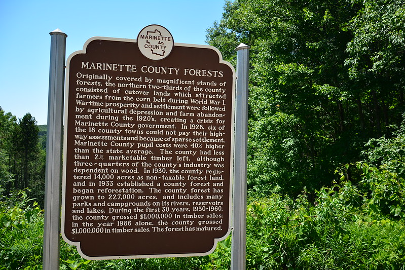
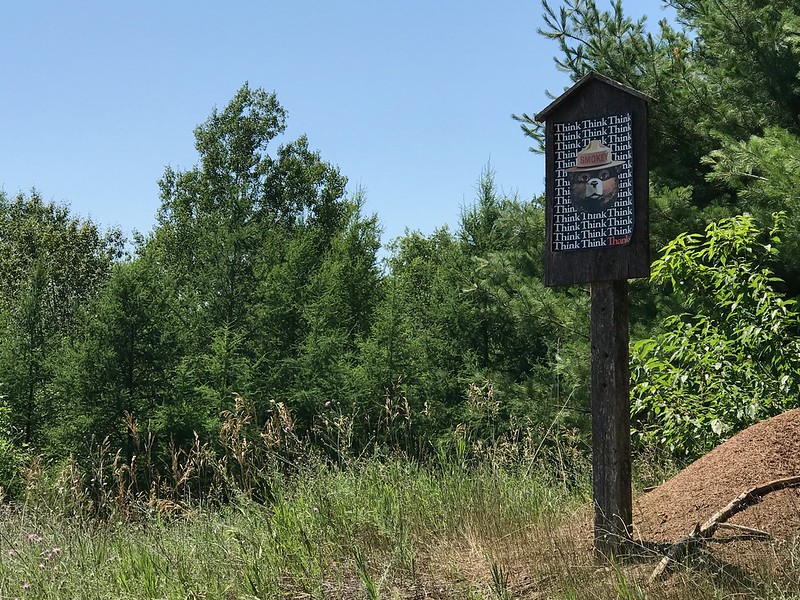
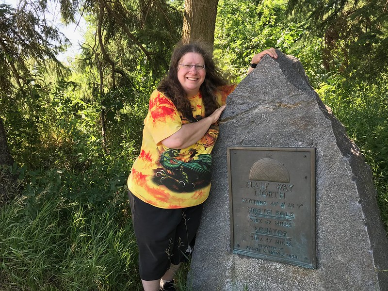
Too soon it was time to head south without looking back. We stopped at a Marinette County historical marker about Wisconsin forestry with a forest overlook. Next was a pullover at Half Way North marking the 45th parallel halfway between the equator and the North Pole. It seems this is marked in only a few places in Wisconsin, so I’m happy I landed at one of them.
It was getting late in the afternoon by the time we reached Karvana south of Green Bay, one of J’s favorite coffee spots. The mac and cheese was pretty good, and the yam fries were amazing. Because I dislike the idea of bottled water and the massive amount one-use plastic it consumes, I loved their filtered water tap. I could fill my 32-ounce bottle with cold water before setting out again.
The final planned stop in the area was Fonferek’s Glen, a county park with a barn and other farm buildings. My objective, though, was the waterfall a short distance from the parking lot. When you first drive up, it looks like a serene meadow. Soon you notice, however, the many warning signs, especially once you pass the waterfall overlook.
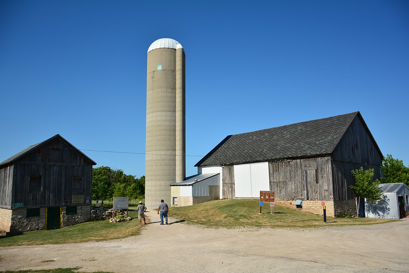
The trail, as they say, is not maintained. Hidden behind the buildings is a creek that you drove over that’s carved out steep cliffs with unstable edges. On this day, we didn’t see the waterfall — the creek bed was partially dry. So was the grass, we noticed later. We passed the overlook and walked on the unmaintained trail along the creek bed to the top of the waterfall. I’ve never done that before. Fenforek’s Glen is not far from the highway and is well worth the little detour.
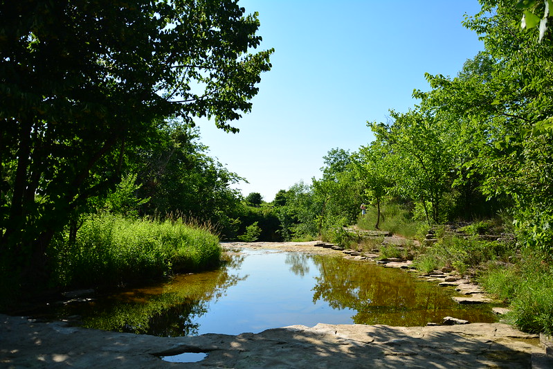
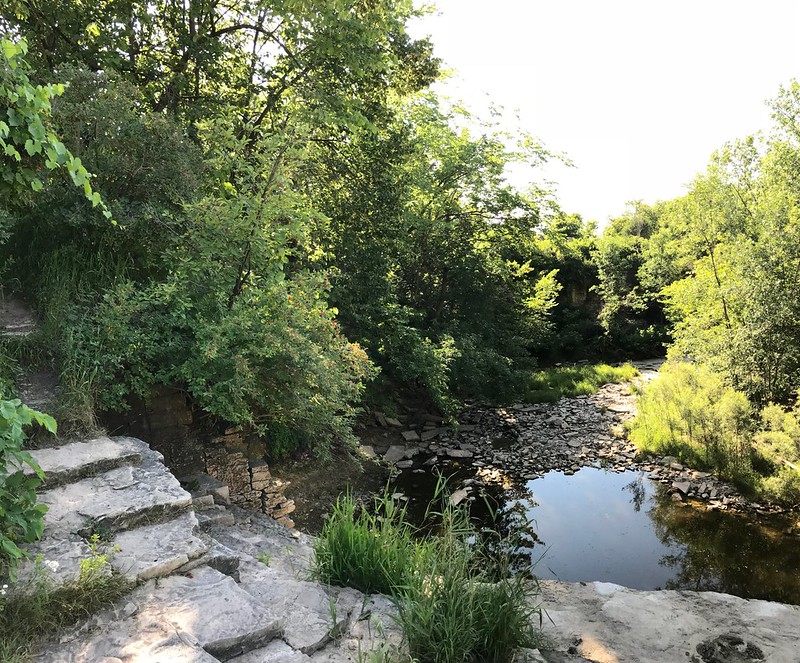
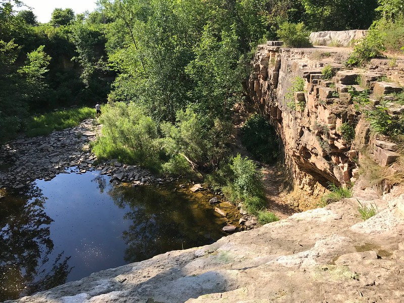
Time flies when you’re having fun. It looked like we’d run out of time to enjoy dinner at Twisted Willow in Port Washington. I had an idea — stop in, order dinner to go, and have a drink at the bar while waiting. I ended up with a great drink and enough Twisted Willow dinner for two meals. Another well-worth-the-detour moment. And getting back later than planned.
And so back to a routine work week under stars obscured at night by city lights.
The adventure began with an email from Openlands about “Paddle the Lake Michigan Water Trail” events in the far north suburbs (Ray Bradbury country). JB and I had gone to one of these a couple of years ago in Jackson Park. Wilderness Inquiry owns the canoes, and they bring paddling to people who wouldn’t have much opportunity, like city kids and the disabled (which I am when it comes to getting into and out of a canoe). They had a life preserver large enough for me (impressive!) and were patient with my difficulties.
We paddled around the lagoon, seeing a great blue heron take off from shore at canoe level. It’s a different world from a canoe, where you’re less of an outsider/intruder and more one with the water — even if you can’t swim. You’re almost like a bird yourself, maybe a loon bobbing on the water.
The Jackson Park paddle was cut a little short by choppiness coming into the lagoon from Lake Michigan, but we were out for a while, probably at least 45 minutes, and I wouldn’t have been surprised if some of the kids (and maybe an adult or two) were paddled out. We’re not hardy voyageurs, after all.
On Sunday it took about 30 to 40 minutes longer than it should have to get to Illinois Beach State Park thanks to a 4th of July parade in Waukegan that had closed down an extensive stretch of Rte. 137, which is the only practical way into the park. By then of course I had to find a restroom.
After those preliminaries, a conservation office pointed us toward Openlands’ tent by the lake, but we discovered we should have followed the “free canoe rides” sign pointing mysteriously inland, as it turned out the lake was too choppy for beginner paddling. We hightailed it west across the parking lot and down a service road and found the canoes at a pond by the campground.
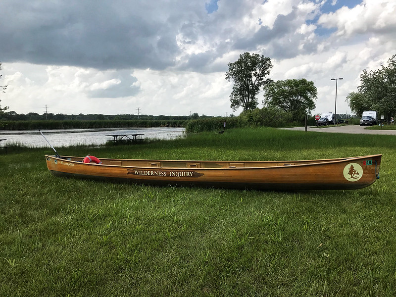
We were just in time for the last paddle of the day. Wilderness Inquiry’s largest life jacket still fits me. Yippee! Enough people arrived after us to fill a canoe. I even managed to get in without too much struggle, thanks to the setup. So far, so good.
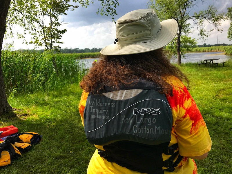
Just as we were scootching around to balance weight side to side and settling in, it started to rain, slowly at first, but soon with bigger drops coming down faster. That’s okay, they told us. We can go out in the rain as long as there’s not lightning. They asked if anyone wanted out. To all our credit, no one moved (not that I could!) or spoke up. Soon the cloud either moved on or emptied out because the brief downpour ended as abruptly as it had begun.
This pond, which I had not known about, is big enough to paddle but not too big for beginners or small children. We went around it perhaps three times, giving us a chance to practice turning and stopping (JB and I are pretty good at this by now). As we started out, a fish leaped out of the water and fell back before I could get a good look. Our trip leader told us the pond is full of bass. It was also surrounded by male red-winged blackbirds on slightly better behavior than they’d shown earlier in the spring. I mentioned that in Chicago frustrated residents have been known to call the police on the territorial birds. I don’t think there’s such a thing as “wing cuffs.”
Meanwhile, I was keeping an eye on the darkening western sky, even as the east remained bright. We returned to shore, and I got out with some extra time and a helping shoulder to lean on. (I feel pressured because anyone forward of me has to wait for me, although they were patient, too.) We chatted with one of the Wilderness Inquiry guys, who was hoping to go to the Boundary Waters Canoe Area Wilderness, then finally left.
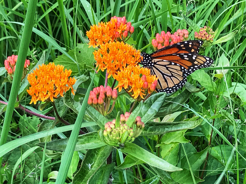
As we walked down the service road, we stopped to take a few photos of the flowers and a monarch who was landing selectively on a couple of butterfly weed plants. I still watched the “gathering gloom” and suddenly decided an expedited march to the car might be warranted just as thunder boomed. Moments later the temperature plummeted dramatically from the low to mid 90s. We made it just as the skies opened up with a thicker, more sustained downpour accented by sporadic thunder and lightning. We joined a lot of beachgoers in fleeing the park. What perfect timing all around, despite the late start, the parade detour, the pit stop, and the mini-hike to the pond.
We rewarded ourselves with coffee and a brownie at It’s All Good, but the restaurant we wanted to go to had no power. Plan B was a family Mexican restaurant and so home. My kind of day.
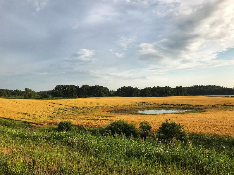
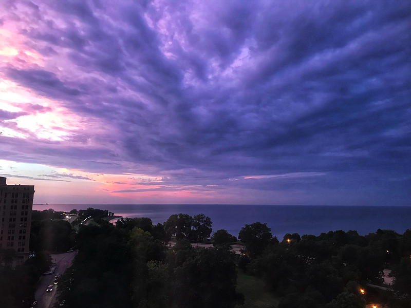
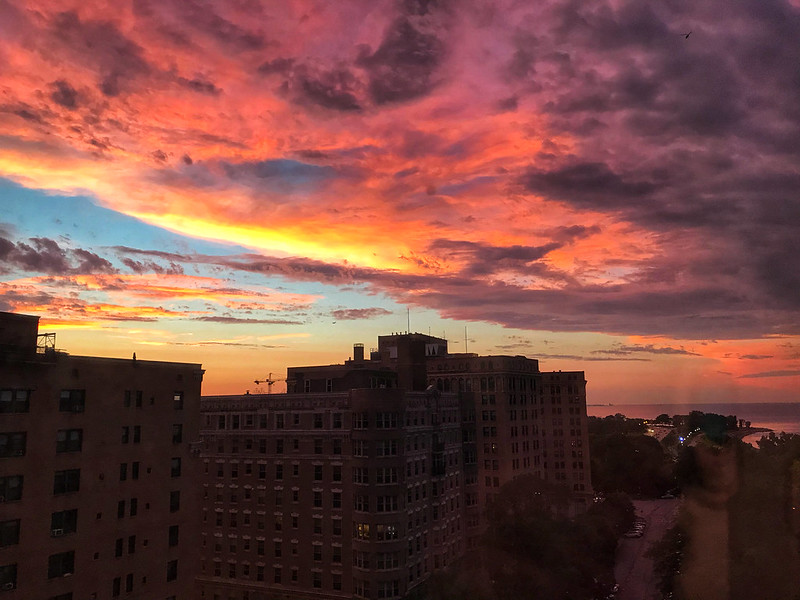

As usual in the Midwest, summer has brought a relentless series of watches and warnings, including thunderstorms, severe weather, flooding, and tornadoes. When a new watch or warning is issued or a current one is updated, one of my phone’s weather apps emits a submarine sound. Sometimes I feel like I’m immersed in Voyage to the Bottom of the Sea.
Not that long ago, before mobile phones, weather apps, and 24/7 cable, people got their weather news and updates from regularly scheduled radio and television news. Emergencies might warrant a crawl across the TV screen with a siren or very loud beeping. Basic, everyday weather news at 6 and 11 wasn’t enough for my dad, however. He tuned into his dedicated weather radio.
A weather radio picks up NOAA broadcasts that include arcane weather details you won’t hear on the 6 o’clock news, which you may not watch anyway because you get the news from trending topics on Facebook and Twitter. I hadn’t heard a weather radio broadcast in decades, but I remember a flat, tinny male voice, most likely not a “voice talent,” reciting a long list of current weather conditions and statistics in a monotonously soothing way. My dad could listen to this for long periods, as though he were a farmer whose livelihood depended on knowing weather conditions intimately and preparing for them. Our weather radio did come in handy a few times, such as during the Western New York Blizzard of ’77. We kept spare batteries on hand for all of our radios because we never knew when wind or ice would knock out the power.
Today I imagine a weather radio may be useful to boaters, campers, hunters and fishers, construction foremen, and anyone else whose life or work might depend on unexpected or sudden changes in weather conditions. Several years ago in Chicago, a horrendous thunderstorm with hail abruptly blew in without warning, even breaking thousands of panes of glass at Garfield Park Conservatory. If I were out on Lake Michigan in a small craft, I would have wanted to know about those black clouds darkening the western sky, how conditions were changing, and how long I would have to row my boat ashore.
Here’s a little more about these broadcasts:
NOAA Weather Radio is a 24 hour a day…7 day a week continuous broadcast of weather information. With the touch of a button, the current conditions, 7 day forecast, and other pertinent weather information is available whenever you want it. More importantly is the ability to get severe weather information the moment it is issued. Most weather radio models have an alert feature that will be activated to alarm you of any watch or warning issued for your area. Many have SAME technology that will only alert you for the county (or counties) you are interested in.
Weather radio came into being in 1972, and was designated by the White House as the sole government-operated radio system to provide direct warnings into private homes for both natural disasters and nuclear attack. This concept has been expanded to included warnings for all hazardous conditions that pose a threat to life and property.
As I said, once upon a time, the voice belonged to humans — as it turns out, the updates were recorded by staff at local National Weather Service offices, nearly all of them male. Although the voices varied, they were reassuring in their lack of voiceover-style sophistication. Today, however, the voices are synthesized. “Tom” comes closest to my memories, but still he doesn’t quite evoke morning at the kitchen table, listening to the weather radio.
Of course weather radios aren’t truly a relic. Not only can you still buy them, but there are even a number of options in a surprisingly broad range of prices (my brief search showed roughly $25 to $60, or $75 with a lithium battery). Copy for my favorite, no longer available, says: “If you’re in an area prone to occasional violent weather (and what area isn’t?) this radio can be a lifesaver.” I’m tempted.
If you have a weather radio, here’s where you can find your local weather station. Chicago’s is KWO39 at 162.550, broadcasting from Romeoville in the southwest suburbs via a transmitter at the “Sear’s Tower” (someone needs to tell NOAA it’s now Willis Tower).
Will your eight-year-old son or daughter wax nostalgic over iffy mornings and evenings or camping trips spent listening to “Tom” or whatever synthesized voice supplants him? For myself, “Tom” doesn’t evoke strong feelings or tempt me to buy that spiffy weather radio after all. I guess I’ll just have to keep feeling like I’m aboard the Seaview.
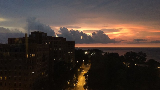
UPDATE 7/29/2016: After the skies turned dark again, I compromised and spent $4.99 on a weather radio iPhone app. Still not the same as the radio on the kitchen counter.